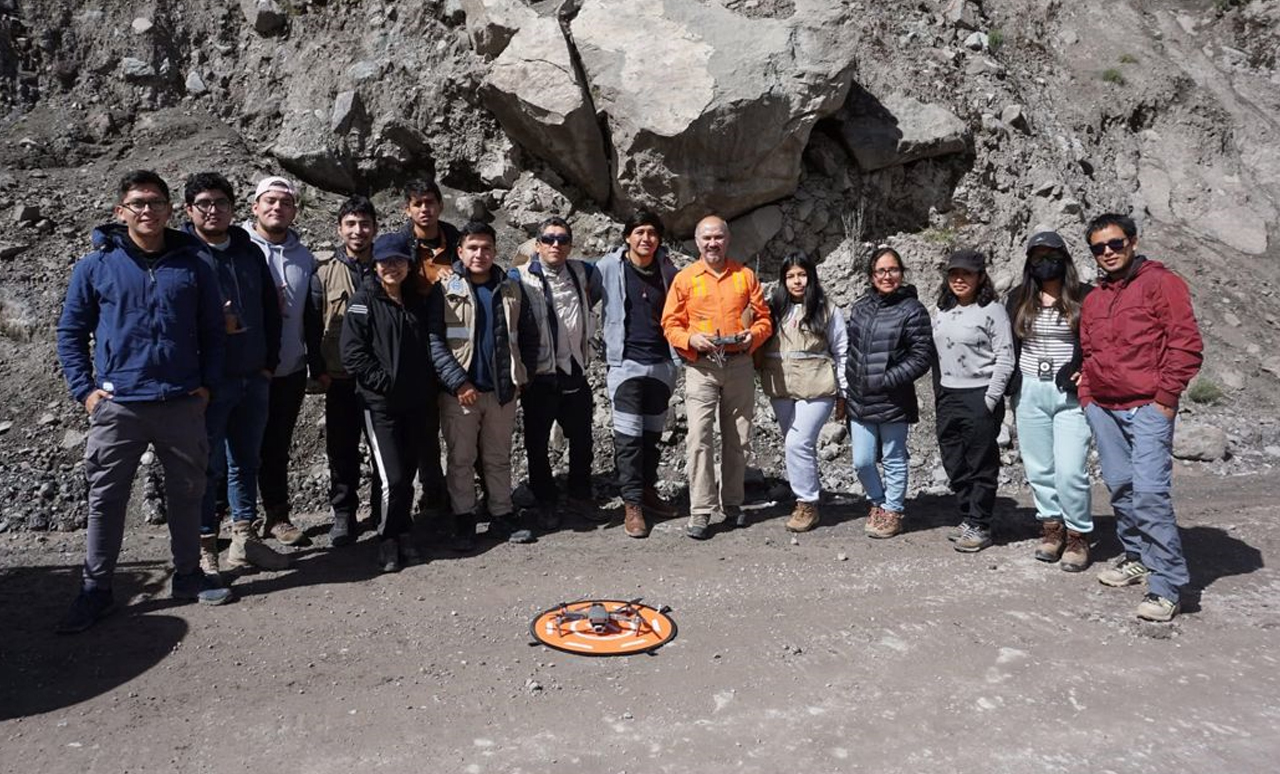
Drone Services

Drone Services
Drones, also known as unmanned aerial vehicles (UAVs), are increasingly becoming essential tools in various industries, including geology and mining. These aerial vehicles can be remotely operated or equipped with autonomous software, allowing them to fly independently while performing a range of tasks with precision and efficiency.
In the field of mining exploration and geology, drones provide invaluable support in inspections, site surveys, data collection, and topographic mapping. With their ability to capture high-resolution images, videos, and geospatial data, drones play a crucial role in monitoring mining sites, evaluating terrain conditions, and mapping mineral deposits. This technology significantly reduces the need for manual labor and improves the speed and accuracy of data collection.
APEX offers comprehensive drone services tailored to the needs of geological and mining projects. We use advanced drone technology to provide precise aerial mapping, terrain analysis, mineral exploration surveys, and environmental assessments. Our drones are equipped with state-of-the-art cameras, LIDAR sensors, and GPS for capturing detailed, real-time data that supports efficient decision-making and project execution.
In addition to surveying and mapping, drones can be utilized for operational inspections, environmental monitoring, and asset management, all of which contribute to the sustainability and cost-effectiveness of mining projects. By offering drone services, APEX helps clients reduce operational costs, enhance safety, and increase the overall efficiency of geological and mining projects.
Contact APEX to learn how our drone services can streamline your mining exploration, site inspections, and data collection efforts. Let us demonstrate how cutting-edge drone technology can improve the speed, accuracy, and environmental sustainability of your projects.
