Field Geological Mapping
Field Geological Mapping
We utilize a variety of tools to provide comprehensive geological mapping services. These tools include regolith mapping, which delivers geochemical results; structural mapping, which provides insights into deposit types; and lithological mapping, which identifies rock types in economically significant areas.
We combine advanced tools with traditional mapping techniques, producing digital maps in Geographic Information Systems (GIS) format or printed copies as needed.
We believe that high-quality geology is a key component for the advancement of any mining and exploration project along the supply chain. Geological mapping is undeniably the starting point for identifying all potential mineralization occurrences in a given area.
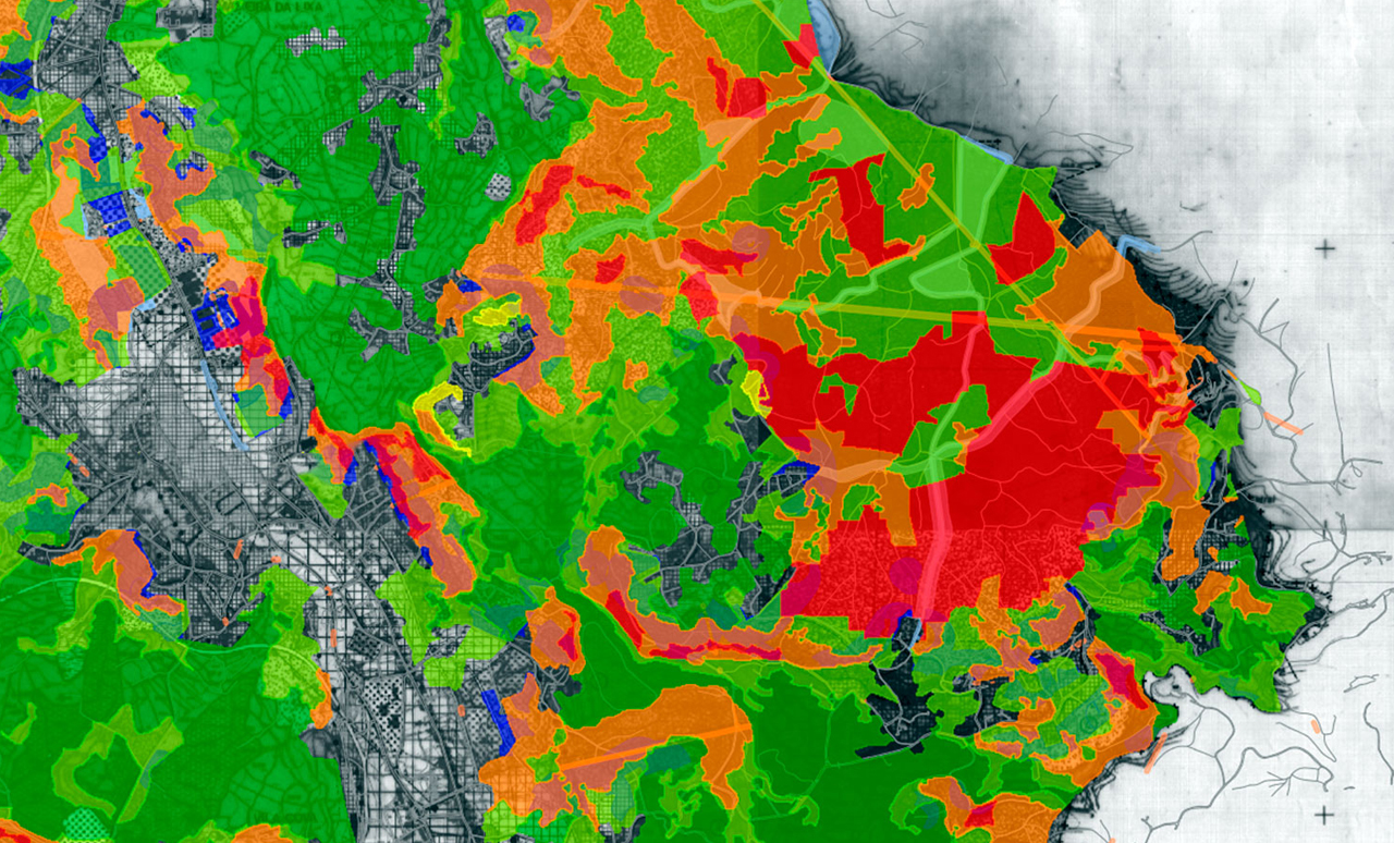
Regolith mapping serves as a productive resource for visualizing geochemical results from a specific perspective. Lithological mapping helps identify various rock types that may show hydrothermal alteration, combining them with structures in economically viable fields. Furthermore, structural mapping is critical for orienting exploration efforts towards specific deposit types and recognizing the cause-and-effect relationships in mineralization.
When the importance of geology is overlooked, there is often a gap between progress and disappointment. At APEX, our geologists prioritize this principle, producing high-quality geological maps that can be used as potential models, support 3D resource models, or guide drilling operations. While we have modern equipment, our true value lies in solid, consistent mapping methodologies. We transfer maps in any digital format with GIS layers or provide printed copies, ensuring optimal access and understanding.