Surveyors

Surveyors
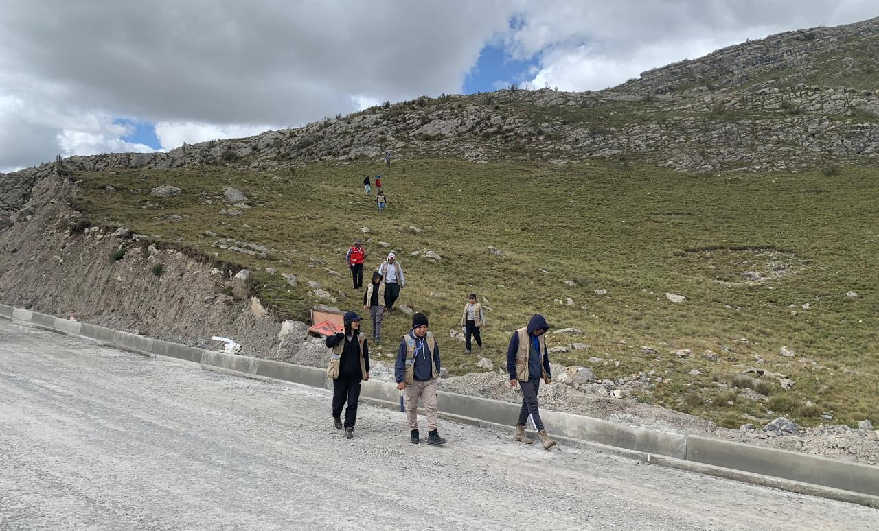
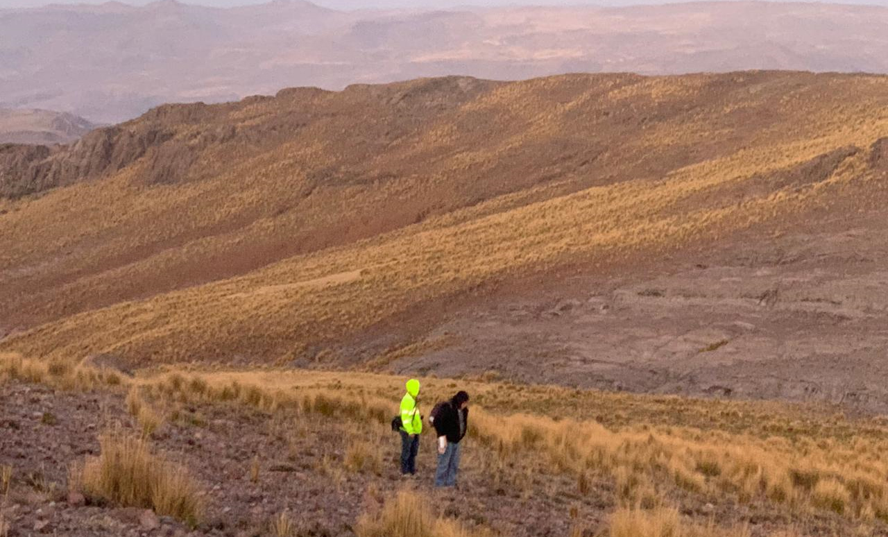
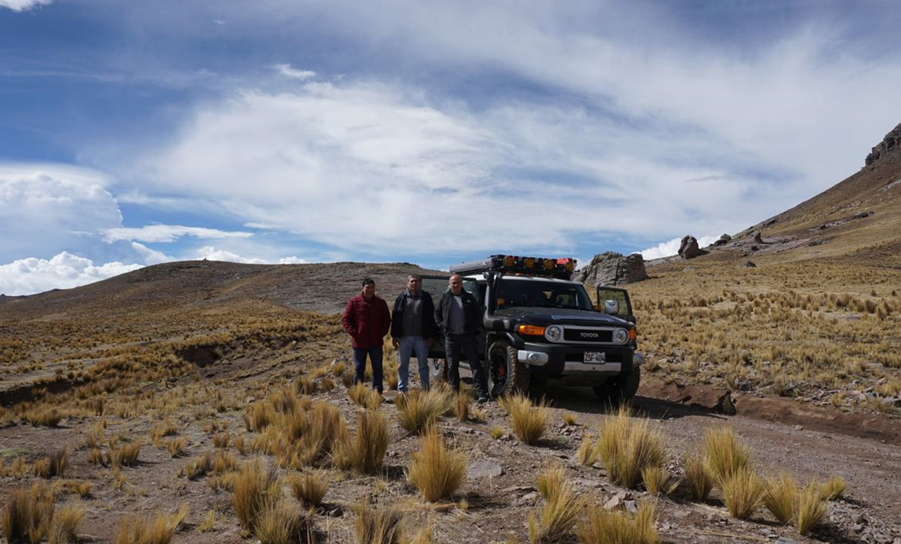
APEX’s surveyors are experts in topographic surveys, mapping, and geodesy, playing a vital role in the planning and execution of mining projects. Their work ensures that all aspects of a project are based on accurate, reliable data, supporting informed decision-making and ensuring the efficient execution of mining and exploration activities.
They perform precise measurements of the terrain, utilizing advanced technologies such as GPS and drones to collect topographic data that is essential for designing infrastructure, mine layouts, and natural resource management. The data they gather forms the foundation for site evaluation, project design, and feasibility studies, ensuring the safety and efficiency of mining operations.
The topographic data produced by our surveyors ensures that projects are grounded in the best available information, leading to optimal planning, effective resource allocation, and streamlined execution. Their geospatial expertise helps clients navigate complex terrain and geological conditions, ensuring that all engineering, geological, and environmental requirements are met with precision and accuracy.
By utilizing cutting-edge tools and advanced techniques, our surveyors ensure that every mining project is founded on accurate data, allowing for informed decision-making and smooth project progression. Their work is essential for minimizing errors, maximizing resource use, and achieving successful, sustainable mining operations.


